 Jansson - Janssonium")
Il disegno della Geographia moderna, 1585.
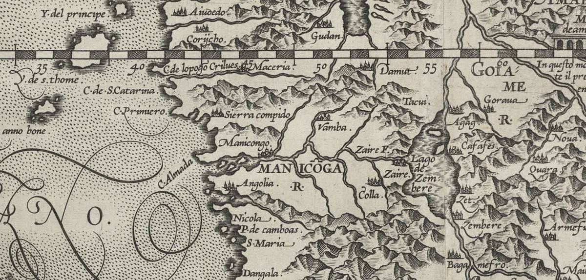
KONGOKING: ancient maps
The KongoKing research group is in the process of compiling a database containing historical documentation on the Kongo Kingdom from the 15th to the 19th century.
This database will include digital copies of:
> historical texts and testimonies on the Kongo Kingdom;
> any texts containing kikongo material for linguistical analysis (e.g. the world famous Vocabularium Latinum, Hispanicum, e Congense of 1652);
> engravings pertaining to the Kongo Kingdom together with their annotations, giving us data to compare with archaeological artefacts;
> ancient maps of Africa published in Europe since late in the 15th century containing relevant information on the Kongo Kingdom.